01 / THE SUPERCONTINENT
A living map, open to revision.
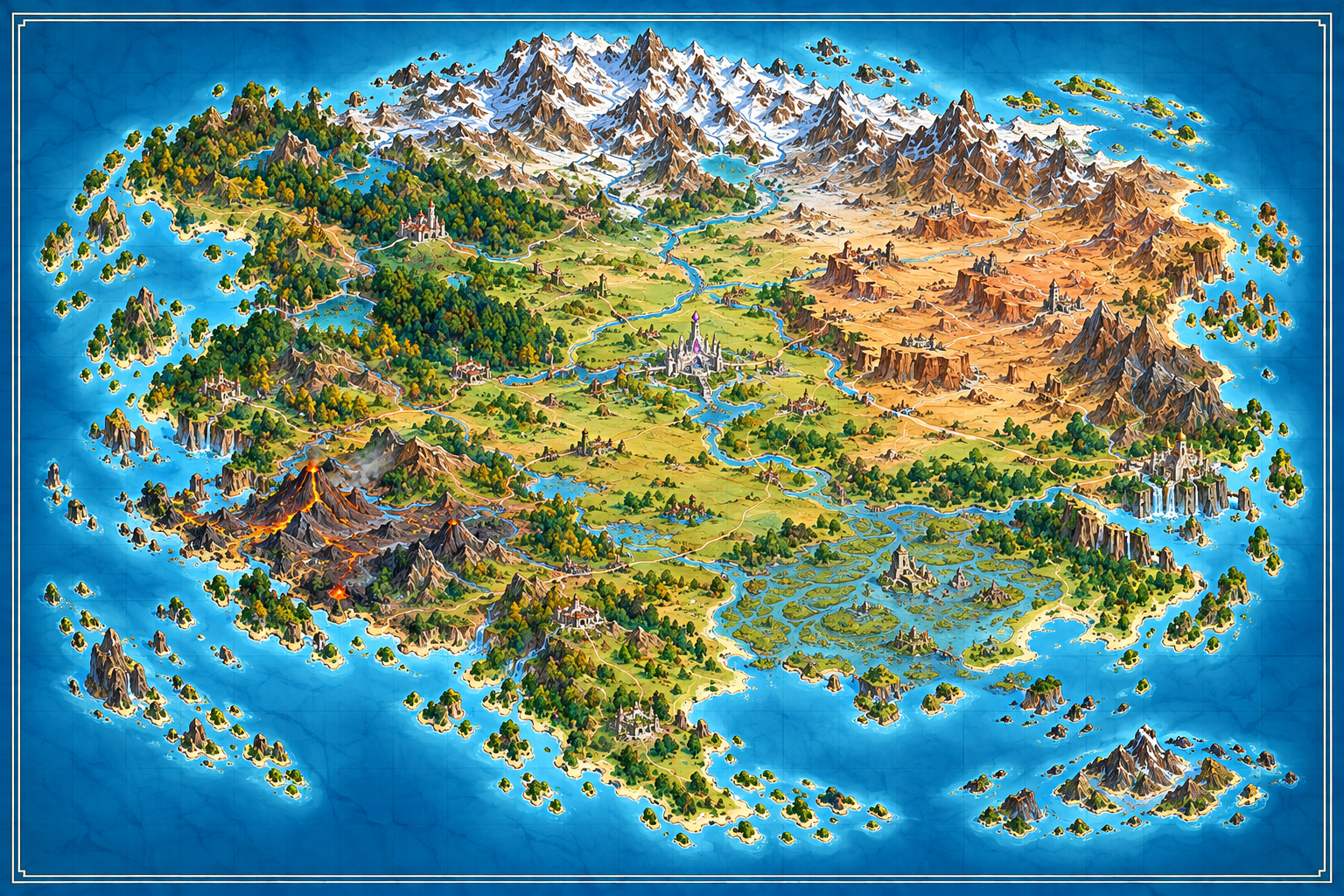
Drag or swipe within the map after zooming. Select a marker or place below it to read its description.
- Proposed capital
- Proposed city
- Proposed town
- Dragon seat or shrine
- Older ruin
- Uncertain Athanor precinct
- Suggested trade circuit
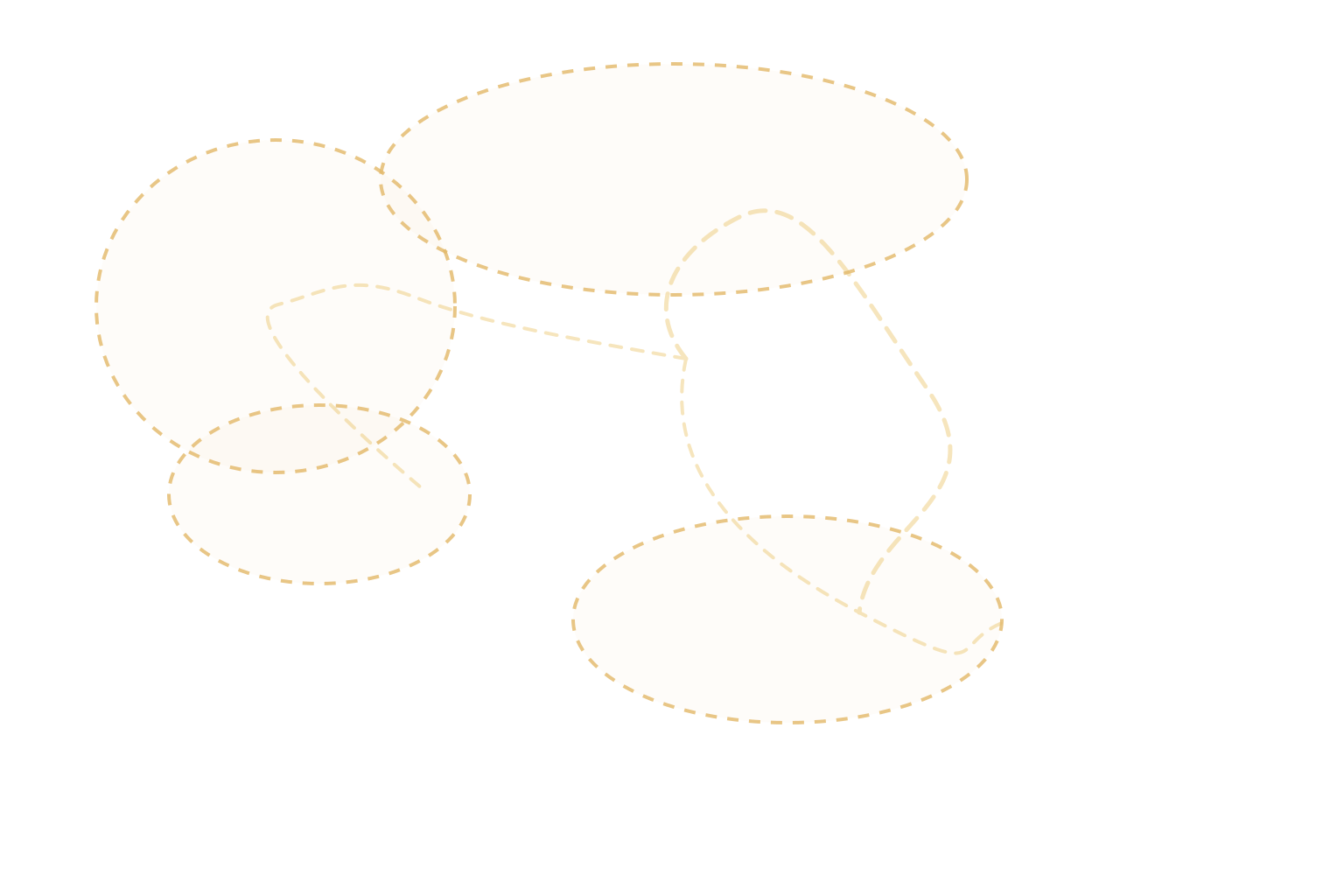
- Approximate cultural influence, not a border
- Approximate ancestral Oravel study region
- Archaeological evidence record
- Possible submerged lowlands, not a surveyed extent
- Terrain labels name proposed ranges, forests, basins, and waters
The coastline and relief remain those of the approved second generated image. The overlays are separate. Oravel's broad geographical ancestry is established, but this footprint is approximate: the two maps were created separately and are not geometrically identical. At fit size the whole map is visible; zoom controls enlarge it for reading on a phone or desktop.
ARCHAEOLOGICAL HISTORY · OCV RECORDS
Ancestral Oravel
The broad geographical identification is established. This dotted study region, the marker positions, and named ancient-to-modern correspondences are proposed reconstructions, not exact borders. Blue hatching shows possible submerged ground; it is not a verified site or measured shoreline.
- Approximate region, no political border implied
- Evidence marker links to an OCV record
- Possible submerged lowlands, extent unresolved
02 / MAP REGISTER
Proposed places and domains
Choose a place to read its status and context. Marker coordinates and labels are held in data/ancient-atlas.json; edit that data file to revise the map without changing the artwork.